 vesseltracker.com
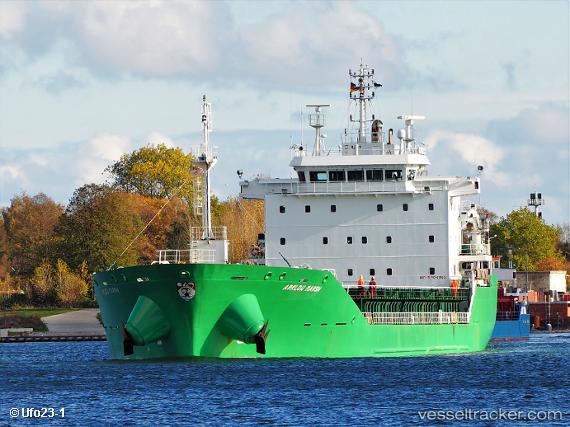
 Arklow Marsh
Current Status
Where is the vessel?
Arklow Marsh is currently in 13 nm NW of Westende, based on AIS data received about 1h ago.
Latest AIS update:
Current position: 51.33575° N, 2.53389° E (13 nm NW of Westende)
Average speed (last 7 days): Loading…
Average speed (last 30 days): Loading…
Vessel profile: Arklow Marsh is a General Cargo Ship with dimensions 137m x 26m.
This page combines live AIS, route history, probable destination signals, nearby traffic, and port activity for practical vessel monitoring.
The current position of vessel Arklow Marsh is 51.33575 lat / 2.53389 lng. Updated: 2026-03-26 17:29:26 UTCNearest reference points:
- 13 nm NW of Middelkerke
- Near Lombardsijde
- Near Dunkerque
Currently sailing under the flag of Ireland ![]()
Arklow Marsh built in 2010 year
Deadweight:
14990 tDetails:
Live Vessel Arklow Marsh Analytics (details, animations, etc.)
Recent AIS points (UTC):
2026-03-26 12:20:22 UTC · 51.33525, 2.52966 · SOG 0.1 kn · COG 26°2026-03-26 13:53:27 UTC · 51.33541, 2.52958 · SOG 0 kn · COG 28°
2026-03-26 15:44:22 UTC · 51.33476, 2.53124 · SOG 0.3 kn · COG 16°
2026-03-26 17:29:26 UTC · 51.33575, 2.53389 · SOG 0.1 kn · COG 291°