 vesseltracker.com
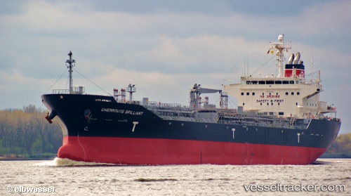
 TG GEMINI
Current Status
Where is the vessel?
TG GEMINI is currently in 97 nm SW of Willow Street, based on AIS data received about 3h ago.
Latest AIS update:
Current position: 30.25387° N, 77.94759° W (97 nm SW of Willow Street)
Average speed (last 7 days): Loading…
Average speed (last 30 days): Loading…
Vessel profile: TG GEMINI is a Oil/Chemical Tanker with dimensions m x m.
This page combines live AIS, route history, probable destination signals, nearby traffic, and port activity for practical vessel monitoring.
The current position of vessel TG GEMINI is 30.25387 lat / -77.94759 lng. Updated: 2026-05-01 17:36:17 UTCNearest reference points:
- 75 nm N of Green Turtle Cay
- 113 nm NE of Green Turtle Cay
- 33 nm S of Kiawah Island
Currently sailing under the flag of Liberia ![]()
Details:
Live Vessel TG GEMINI Analytics (details, animations, etc.)
Recent AIS points (UTC):
2026-05-01 16:08:29 UTC · 30.55158, -77.78115 · SOG 14 kn · COG 201°2026-05-01 17:36:17 UTC · 30.25387, -77.94759 · SOG 13 kn · COG 202°
2026-05-01 17:36:17 UTC · 30.25387, -77.94759 · SOG 13 kn · COG 202°
2026-05-01 17:36:17 UTC · 30.25387, -77.94759 · SOG 13 kn · COG 202°