 vesseltracker.com
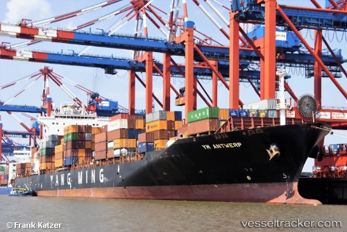
 SYNERGY ANTWERP
Current Status
Where is the vessel?
SYNERGY ANTWERP is currently in 36 nm NW of Bnei Darom, based on AIS data received less than 1h ago.
Latest AIS update:
Current position: 32.08105° N, 31.05599° E (36 nm NW of Bnei Darom)
Average speed (last 7 days): Loading…
Average speed (last 30 days): Loading…
Vessel profile: SYNERGY ANTWERP is a Container Ship with dimensions 260m x 32m.
This page combines live AIS, route history, probable destination signals, nearby traffic, and port activity for practical vessel monitoring.
The current position of vessel SYNERGY ANTWERP is 32.08105 lat / 31.05599 lng. Updated: 2026-05-14 18:14:36 UTCNearest reference points:
- Near Damietta
- 21 nm N of Port Said
- 15 nm N of Port Said
Currently sailing under the flag of Marshall Islands ![]()
SYNERGY ANTWERP built in 2008 year
Deadweight:
50727 tDetails:
Live Vessel SYNERGY ANTWERP Analytics (details, animations, etc.)
Recent AIS points (UTC):
2026-05-14 13:53:58 UTC · 31.66236, 32.09011 · SOG 13.3 kn · COG 313°2026-05-14 15:19:52 UTC · 31.83333, 31.78167 · SOG 13 kn · COG -1°
2026-05-14 15:19:52 UTC · 31.83333, 31.78167 · SOG 13 kn · COG -1°
2026-05-14 18:14:36 UTC · 32.08105, 31.05599 · SOG 13.9 kn · COG 290°