 vesseltracker.com
 Freeport
Current Status
Where is the vessel?
Freeport is currently in 19 nm SE of Sheppard, based on AIS data received about 1h ago.
Latest AIS update:
Current position: 29.04863° N, 94.58100° W (19 nm SE of Sheppard)
Average speed (last 7 days): Loading…
Average speed (last 30 days): Loading…
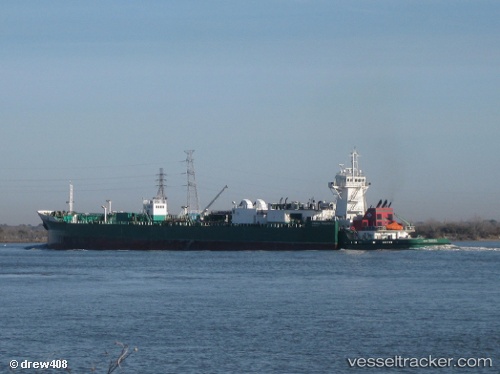
Vessel profile: Freeport is a Pusher Tug with dimensions 184m x 21m.
This page combines live AIS, route history, probable destination signals, nearby traffic, and port activity for practical vessel monitoring.
The current position of vessel Freeport is 29.04863 lat / -94.58100 lng. Updated: 2026-05-16 04:53:57 UTCNearest reference points:
- 12 nm SE of Port Bolivar
- Near Port Bolivar
- 39 nm S of Sheppard
Currently sailing under the flag of USA ![]()
Freeport built in 2007 year
Deadweight:
1388 tDetails:
Live Vessel Freeport Analytics (details, animations, etc.)
Recent AIS points (UTC):
2026-05-16 01:01:47 UTC · 29.36293, -94.90890 · SOG 4.8 kn · COG 91°2026-05-16 02:20:27 UTC · 29.33617, -94.68019 · SOG 14.1 kn · COG 123°
2026-05-16 03:55:37 UTC · 29.15238, -94.45798 · SOG 9.9 kn · COG 154°
2026-05-16 04:53:57 UTC · 29.04863, -94.58100 · SOG 10.2 kn · COG 233°