 vesseltracker.com
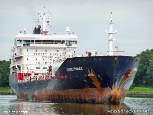
 Meligunis M
Current Status
Where is the vessel?
Meligunis M is currently in 13 nm SW of SUSAK, based on AIS data received about 1h ago.
Latest AIS update:
Current position: 44.31872° N, 14.17033° E (13 nm SW of SUSAK)
Average speed (last 7 days): Loading…
Average speed (last 30 days): Loading…
Vessel profile: Meligunis M is a Chemical Oil Products Tanker with dimensions 129m x 18m.
This page combines live AIS, route history, probable destination signals, nearby traffic, and port activity for practical vessel monitoring.
The current position of vessel Meligunis M is 44.31872 lat / 14.17033 lng. Updated: 2026-05-13 12:01:57 UTCNearest reference points:
- Near MALI LOSINJ
- Near Veli Losinj
- 21 nm E of KATARINA
Currently sailing under the flag of Italy ![]()
Meligunis M built in 2008 year
Deadweight:
11259 tDetails:
Live Vessel Meligunis M Analytics (details, animations, etc.)
Recent AIS points (UTC):
2026-05-13 05:40:36 UTC · 43.27012, 15.12602 · SOG 11.6 kn · COG 328°2026-05-13 09:46:55 UTC · 43.94142, 14.51132 · SOG 11.7 kn · COG 329°
2026-05-13 10:49:36 UTC · 44.11517, 14.35625 · SOG 12.1 kn · COG 327°
2026-05-13 12:01:57 UTC · 44.31872, 14.17033 · SOG 12.1 kn · COG 344°