 vesseltracker.com
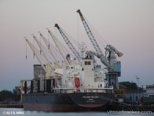
 AM PURPOSE
Current Status
Where is the vessel?
AM PURPOSE is currently in 16 nm N of Enmore, based on AIS data received less than 1h ago.
Latest AIS update:
Current position: 7.02720° N, 57.96221° W (16 nm N of Enmore)
Average speed (last 7 days): Loading…
Average speed (last 30 days): Loading…
Vessel profile: AM PURPOSE is a Bulk Carrier with dimensions m x m.
This page combines live AIS, route history, probable destination signals, nearby traffic, and port activity for practical vessel monitoring.
The current position of vessel AM PURPOSE is 7.02720 lat / -57.96221 lng. Updated: 2026-05-15 19:22:36 UTCNearest reference points:
- 57 nm NE of Adventure
- 38 nm NW of Jarikaba
Currently sailing under the flag of Marshall Islands ![]()
Details:
Live Vessel AM PURPOSE Analytics (details, animations, etc.)
Recent AIS points (UTC):
2026-05-15 16:13:38 UTC · 7.02601, -57.96235 · SOG 0.1 kn · COG 80°2026-05-15 16:43:36 UTC · 7.02607, -57.96232 · SOG 0.1 kn · COG 76°
2026-05-15 16:52:39 UTC · 7.02619, -57.96235 · SOG 0 kn · COG 81°
2026-05-15 19:22:36 UTC · 7.02720, -57.96221 · SOG 0.4 kn · COG 113°