 vesseltracker.com
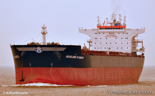
 LEVANTE
Current Status
Where is the vessel?
LEVANTE is currently in 59 nm NE of Belitung, based on AIS data received about 1h ago.
Latest AIS update:
Current position: 1.95167° S, 108.35977° E (59 nm NE of Belitung)
Average speed (last 7 days): Loading…
Average speed (last 30 days): Loading…
Vessel profile: LEVANTE is a Bulk Carrier with dimensions m x m.
This page combines live AIS, route history, probable destination signals, nearby traffic, and port activity for practical vessel monitoring.
The current position of vessel LEVANTE is -1.95167 lat / 108.35977 lng. Updated: 2026-05-16 17:20:43 UTCNearest reference points:
- 62 nm NE of Belitung
- 53 nm NE of Tanjung Pandan
- 74 nm N of Belitung
Currently sailing under the flag of Marshall Islands ![]()
Details:
Live Vessel LEVANTE Analytics (details, animations, etc.)
Recent AIS points (UTC):
2026-05-16 12:49:35 UTC · -1.31494, 107.63536 · SOG 12.7 kn · COG 128°2026-05-16 12:49:35 UTC · -1.31494, 107.63536 · SOG 12.7 kn · COG 128°
2026-05-16 16:32:34 UTC · -1.84386, 108.22577 · SOG 12.6 kn · COG 136°
2026-05-16 17:20:43 UTC · -1.95167, 108.35977 · SOG 12.8 kn · COG 123°