 vesseltracker.com
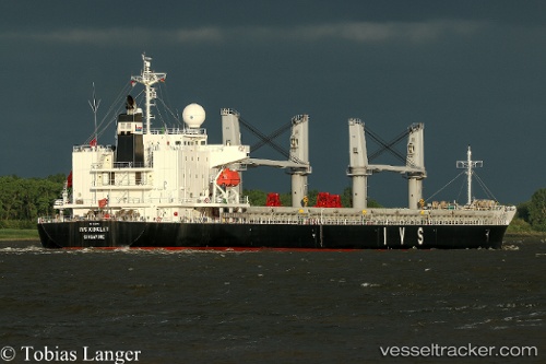
 TAN BINH 299
Current Status
Where is the vessel?
TAN BINH 299 is currently in 94 nm NE of Arthur's Town, Cat Island, based on AIS data received less than 1h ago.
Latest AIS update:
Current position: 26.03167° N, 74.93667° W (94 nm NE of Arthur's Town, Cat Island)
Average speed (last 7 days): Loading…
Average speed (last 30 days): Loading…
Vessel profile: TAN BINH 299 is a General Cargo with dimensions m x m.
This page combines live AIS, route history, probable destination signals, nearby traffic, and port activity for practical vessel monitoring.
The current position of vessel TAN BINH 299 is 26.03167 lat / -74.93667 lng. Updated: 2026-05-16 16:16:17 UTCNearest reference points:
- 31 nm E of Harbour Island
- 22 nm E of Harbour Island
- Near Harbour Island
Currently sailing under the flag of Panama ![]()
Details:
Live Vessel TAN BINH 299 Analytics (details, animations, etc.)
Recent AIS points (UTC):
2026-05-16 13:43:17 UTC · 26.10500, -74.43167 · SOG 10 kn · COG -1°2026-05-16 13:49:23 UTC · 26.10167, -74.45167 · SOG 10 kn · COG -1°
2026-05-16 15:22:19 UTC · 26.05833, -74.76167 · SOG 10 kn · COG -1°
2026-05-16 16:16:17 UTC · 26.03167, -74.93667 · SOG 10 kn · COG -1°