 vesseltracker.com
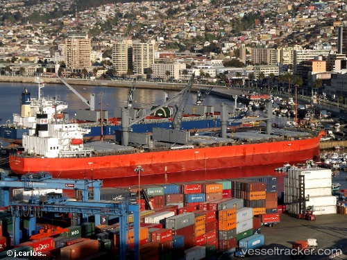
 TREMOLA
Current Status
Where is the vessel?
TREMOLA is currently in Near OWENDO, based on AIS data received less than 1h ago.
Latest AIS update:
Current position: 0.27945° N, 9.47553° E (Near OWENDO)
Average speed (last 7 days): Loading…
Average speed (last 30 days): Loading…
Vessel profile: TREMOLA is a Bulk Carrier with dimensions 32m x 183m.
This page combines live AIS, route history, probable destination signals, nearby traffic, and port activity for practical vessel monitoring.
The current position of vessel TREMOLA is 0.27945 lat / 9.47553 lng. Updated: 2026-05-15 07:10:27 UTCNearest reference points:
- Near Cape Lopez
- Near Port Gentil
Currently sailing under the flag of Marshall Islands ![]()
TREMOLA built in 2011 year
Deadweight:
50633 tDetails:
Live Vessel TREMOLA Analytics (details, animations, etc.)
Recent AIS points (UTC):
2026-05-15 03:58:26 UTC · 0.27861, 9.47843 · SOG 0.1 kn · COG 240°2026-05-15 04:37:26 UTC · 0.27938, 9.47571 · SOG 0 kn · COG 123°
2026-05-15 06:16:27 UTC · 0.27955, 9.47568 · SOG 0 kn · COG 129°
2026-05-15 07:10:27 UTC · 0.27945, 9.47553 · SOG 0.1 kn · COG 117°