 vesseltracker.com
 LAVAREDO
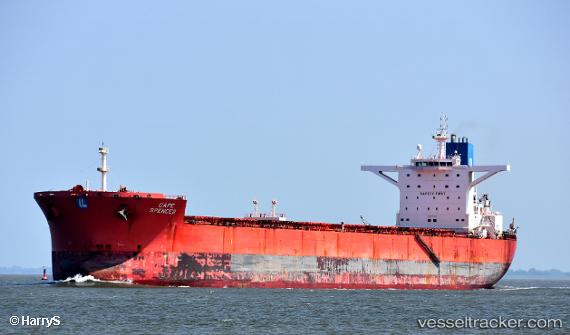
Current Status
Where is the vessel?
LAVAREDO is currently in 74 nm N of Mutineer, based on AIS data received less than 1h ago.
Latest AIS update:
Current position: 18.03588° S, 116.73722° E (74 nm N of Mutineer)
Average speed (last 7 days): Loading…
Average speed (last 30 days): Loading…
Vessel profile: LAVAREDO is a Bulk Carrier with dimensions m x m.
This page combines live AIS, route history, probable destination signals, nearby traffic, and port activity for practical vessel monitoring.
The current position of vessel LAVAREDO is -18.03588 lat / 116.73722 lng. Updated: 2026-04-27 13:11:24 UTCNearest reference points:
- 121 nm NE of Mutineer
- 116 nm NE of Mutineer
- 185 nm NE of Mutineer
Currently sailing under the flag of Liberia ![]()
Details:
Live Vessel LAVAREDO Analytics (details, animations, etc.)
Recent AIS points (UTC):
2026-04-27 09:27:19 UTC · -18.71649, 116.81180 · SOG 10.9 kn · COG 358°2026-04-27 10:57:26 UTC · -18.44338, 116.78495 · SOG 10.8 kn · COG 355°
2026-04-27 12:09:51 UTC · -18.22343, 116.75905 · SOG 11 kn · COG 354°
2026-04-27 13:11:24 UTC · -18.03588, 116.73722 · SOG 10.8 kn · COG 355°