 vesseltracker.com
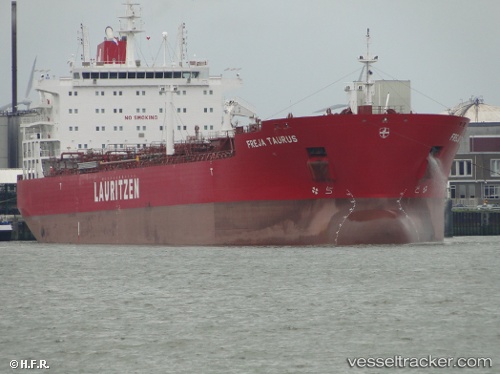
 MAGNATE
Current Status
Where is the vessel?
MAGNATE is currently in Near Kawasaki, based on AIS data received about 1h ago.
Latest AIS update:
Current position: 35.44705° N, 139.76318° E (Near Kawasaki)
Average speed (last 7 days): Loading…
Average speed (last 30 days): Loading…
Vessel profile: MAGNATE is a Oil/Chemical Tanker with dimensions m x m.
This page combines live AIS, route history, probable destination signals, nearby traffic, and port activity for practical vessel monitoring.
The current position of vessel MAGNATE is 35.44705 lat / 139.76318 lng. Updated: 2026-05-13 10:07:27 UTCNearest reference points:
- Near Kawasaki
- Near Yokohama
- Near Naka-Ku, Kanagawa
Currently sailing under the flag of Marshall Islands ![]()
Details:
Live Vessel MAGNATE Analytics (details, animations, etc.)
Recent AIS points (UTC):
2026-05-13 06:10:10 UTC · 35.13958, 139.76485 · SOG 6.9 kn · COG 15°2026-05-13 07:19:29 UTC · 35.33674, 139.74095 · SOG 11.8 kn · COG 20°
2026-05-13 09:34:28 UTC · 35.44701, 139.76384 · SOG 0 kn · COG 352°
2026-05-13 10:07:27 UTC · 35.44705, 139.76318 · SOG 0 kn · COG 7°