 vesseltracker.com
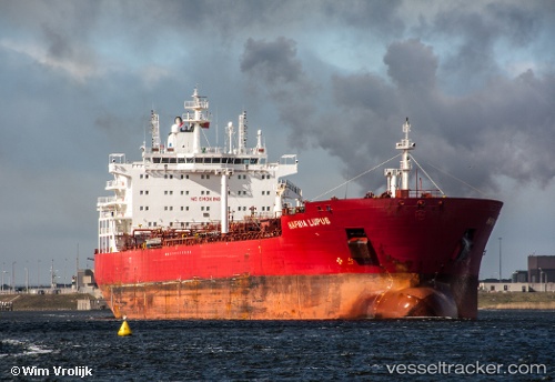
 ORKIM CITRINE
Current Status
Where is the vessel?
ORKIM CITRINE is currently in 24 nm NW of Kota Kinabalu, based on AIS data received about 1d ago.
Latest AIS update:
Current position: 6.21273° N, 115.72405° E (24 nm NW of Kota Kinabalu)
Average speed (last 7 days): Loading…
Average speed (last 30 days): Loading…
Vessel profile: ORKIM CITRINE is a Oil/Chemical Tanker with dimensions m x m.
This page combines live AIS, route history, probable destination signals, nearby traffic, and port activity for practical vessel monitoring.
The current position of vessel ORKIM CITRINE is 6.21273 lat / 115.72405 lng. Updated: 2026-05-14 19:58:50 UTCNearest reference points:
- Near Kota Kinabalu
- 44 nm SW of Tembungo
- Near Kikeh
Currently sailing under the flag of Malaysia ![]()
Details:
Live Vessel ORKIM CITRINE Analytics (details, animations, etc.)
Recent AIS points (UTC):
2026-05-14 19:58:50 UTC · 6.21273, 115.72405 · SOG 12.7 kn · COG 294°2026-05-14 19:58:50 UTC · 6.21273, 115.72405 · SOG 12.7 kn · COG 294°
2026-05-14 19:58:50 UTC · 6.21273, 115.72405 · SOG 12.7 kn · COG 294°
2026-05-14 19:58:50 UTC · 6.21273, 115.72405 · SOG 12.7 kn · COG 294°