 vesseltracker.com
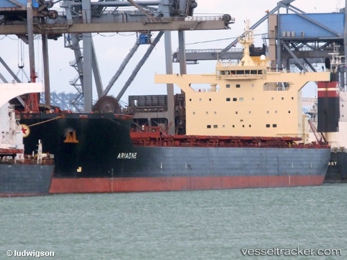
 GH NIGHTINGALE
Current Status
Where is the vessel?
GH NIGHTINGALE is currently in Near Boyne Island, based on AIS data received less than 1h ago.
Latest AIS update:
Current position: 23.81437° S, 151.47693° E (Near Boyne Island)
Average speed (last 7 days): Loading…
Average speed (last 30 days): Loading…
Vessel profile: GH NIGHTINGALE is a Bulk Carrier with dimensions m x m.
This page combines live AIS, route history, probable destination signals, nearby traffic, and port activity for practical vessel monitoring.
The current position of vessel GH NIGHTINGALE is -23.81437 lat / 151.47693 lng. Updated: 2026-05-13 19:29:58 UTCNearest reference points:
- Near Boyne Island
- Near Gladstone Harbor
- Near ROSSLYN
Currently sailing under the flag of Bermuda ![]()
Details:
Live Vessel GH NIGHTINGALE Analytics (details, animations, etc.)
Recent AIS points (UTC):
2026-05-13 15:47:56 UTC · -23.81485, 151.47675 · SOG 0.3 kn · COG 102°2026-05-13 16:41:57 UTC · -23.81418, 151.47693 · SOG 0 kn · COG 127°
2026-05-13 17:44:58 UTC · -23.81402, 151.47705 · SOG 0.4 kn · COG 134°
2026-05-13 19:29:58 UTC · -23.81437, 151.47693 · SOG 0.3 kn · COG 121°