 vesseltracker.com
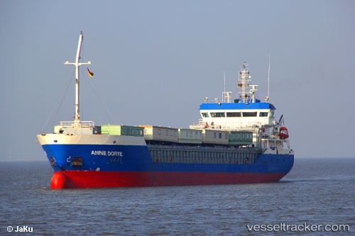
 HILDA B
Current Status
Where is the vessel?
HILDA B is currently in Near Stokestown/New Ross, based on AIS data received about 1h ago.
Latest AIS update:
Current position: 52.36688° N, 6.97232° W (Near Stokestown/New Ross)
Average speed (last 7 days): Loading…
Average speed (last 30 days): Loading…
Vessel profile: HILDA B is a General Cargo with dimensions m x m.
This page combines live AIS, route history, probable destination signals, nearby traffic, and port activity for practical vessel monitoring.
The current position of vessel HILDA B is 52.36688 lat / -6.97232 lng. Updated: 2026-05-15 05:58:11 UTCNearest reference points:
- Near WEXFORD
- Near HELVICK
- Near ARKLOW
Details:
Live Vessel HILDA B Analytics (details, animations, etc.)
Recent AIS points (UTC):
2026-05-15 01:12:29 UTC · 52.36686, -6.97232 · SOG 0 kn · COG 84°2026-05-15 03:43:12 UTC · 52.36685, -6.97236 · SOG 0 kn · COG 84°
2026-05-15 05:07:11 UTC · 52.36682, -6.97235 · SOG 0 kn · COG 84°
2026-05-15 05:58:11 UTC · 52.36688, -6.97232 · SOG 0 kn · COG 84°