 vesseltracker.com
 AMIRA DIANA
Current Status
Where is the vessel?
AMIRA DIANA is currently in Near HUDAIDAH, based on AIS data received less than 1h ago.
Latest AIS update:
Current position: 14.83667° N, 42.93667° E (Near HUDAIDAH)
Average speed (last 7 days): Loading…
Average speed (last 30 days): Loading…
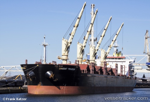
Vessel profile: AMIRA DIANA is a Bulk Carrier with dimensions m x m.
This page combines live AIS, route history, probable destination signals, nearby traffic, and port activity for practical vessel monitoring.
The current position of vessel AMIRA DIANA is 14.83667 lat / 42.93667 lng. Updated: 2026-05-13 18:10:48 UTCNearest reference points:
- 81 nm NW of As Salif
- Near Jazan Economic City
- 92 nm SW of Al Qahmah
Currently sailing under the flag of Barbados ![]()
Details:
Live Vessel AMIRA DIANA Analytics (details, animations, etc.)
Recent AIS points (UTC):
2026-05-13 14:02:23 UTC · 14.83827, 42.93724 · SOG 0 kn · COG 136°2026-05-13 15:10:53 UTC · 14.83667, 42.93667 · SOG 0 kn · COG -1°
2026-05-13 16:40:56 UTC · 14.83667, 42.93667 · SOG 0 kn · COG -1°
2026-05-13 18:10:48 UTC · 14.83667, 42.93667 · SOG 0 kn · COG -1°