 vesseltracker.com
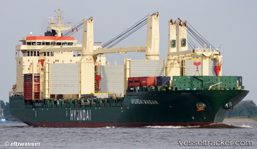
Hyundai Masan
Current StatusWhere is the vessel?
Hyundai Masan is currently in 152 nm W of Marmagao (Marmugao), based on AIS data received less than 1h ago.
Latest AIS update:
Current position: 15.24189° N, 71.17197° E (152 nm W of Marmagao (Marmugao))
Average speed (last 7 days): Loading…
Average speed (last 30 days): Loading…
Vessel profile: Hyundai Masan is a Multi Purpose Carrier with dimensions 28m x 192m.
This page combines live AIS, route history, probable destination signals, nearby traffic, and port activity for practical vessel monitoring.
The current position of vessel Hyundai Masan is 15.24189 lat / 71.17197 lng. Updated: 2026-05-18 04:10:07 UTCNearest reference points:
- 89 nm W of Marmagao (Marmugao)
- 49 nm W of Pernem
- 202 nm NW of Amini Island
Details:
Live Vessel Hyundai Masan Analytics (details, animations, etc.)
Recent AIS points (UTC):
2026-05-18 01:18:35 UTC · 15.91667, 71.45500 · SOG 15 kn · COG -1°2026-05-18 01:45:34 UTC · 15.80667, 71.41500 · SOG 15 kn · COG -1°
2026-05-18 04:10:07 UTC · 15.24189, 71.17197 · SOG 15.1 kn · COG 190°
2026-05-18 04:10:07 UTC · 15.24189, 71.17197 · SOG 15.1 kn · COG 190°