 vesseltracker.com
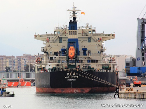
 Kea
Kea
Current Status
Where is the vessel?
Kea is currently in 85 nm SE of Muara Pantai, based on AIS data received about 4h ago.
Latest AIS update:
Current position: 1.18667° N, 119.31500° E (85 nm SE of Muara Pantai)
Average speed (last 7 days): Loading…
Average speed (last 30 days): Loading…
Vessel profile: Kea is a Bulk Carrier with dimensions 225m x 225m.
This page combines live AIS, route history, probable destination signals, nearby traffic, and port activity for practical vessel monitoring.
The current position of vessel Kea is 1.18667 lat / 119.31500 lng. Updated: 2026-05-13 05:25:52 UTCNearest reference points:
- 69 nm E of Kaliorang
- 81 nm E of Muara Pantai
- 29 nm W of Labuanbajo
Currently sailing under the flag of Malta ![]()
Kea built in 2010 year
Deadweight:
75633 tDetails:
Live Vessel Kea Analytics (details, animations, etc.)
Recent AIS points (UTC):
2026-05-13 01:55:53 UTC · 0.57333, 119.23333 · SOG 10 kn · COG -1°2026-05-13 03:34:56 UTC · 0.85833, 119.27500 · SOG 11 kn · COG -1°
2026-05-13 04:37:53 UTC · 1.04833, 119.29833 · SOG 10 kn · COG -1°
2026-05-13 05:25:52 UTC · 1.18667, 119.31500 · SOG 10 kn · COG -1°