 vesseltracker.com
 Key South
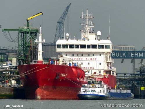
Current Status
Where is the vessel?
Key South is currently in 11 nm W of Le Portel, based on AIS data received less than 1h ago.
Latest AIS update:
Current position: 50.67547° N, 1.27596° E (11 nm W of Le Portel)
Average speed (last 7 days): Loading…
Average speed (last 30 days): Loading…
Vessel profile: Key South is a Chemical Oil Products Tanker with dimensions 109m x 17m.
This page combines live AIS, route history, probable destination signals, nearby traffic, and port activity for practical vessel monitoring.
The current position of vessel Key South is 50.67547 lat / 1.27596 lng. Updated: 2026-05-13 01:21:44 UTCNearest reference points:
- Near Le Portel
- Near Dungeness
- Near Folkestone
Currently sailing under the flag of Malta ![]()
Key South built in 2010 year
Deadweight:
6412 tDetails:
Live Vessel Key South Analytics (details, animations, etc.)
Recent AIS points (UTC):
2026-05-12 21:52:15 UTC · 50.34873, 0.39732 · SOG 11.4 kn · COG 79°2026-05-12 22:27:26 UTC · 50.38169, 0.56496 · SOG 11.6 kn · COG 69°
2026-05-12 23:29:56 UTC · 50.45607, 0.85519 · SOG 11.4 kn · COG 70°
2026-05-13 01:21:44 UTC · 50.67547, 1.27596 · SOG 11.1 kn · COG 44°