 vesseltracker.com
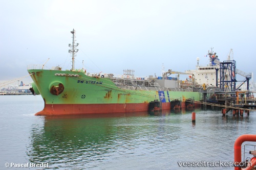
 Chem Stream
Current Status
Where is the vessel?
Chem Stream is currently in 181 nm W of Koiingnaas, based on AIS data received less than 1h ago.
Latest AIS update:
Current position: 30.89790° S, 13.86987° E (181 nm W of Koiingnaas)
Average speed (last 7 days): Loading…
Average speed (last 30 days): Loading…
Vessel profile: Chem Stream is a Chemical Oil Products Tanker with dimensions 144m x 144m.
This page combines live AIS, route history, probable destination signals, nearby traffic, and port activity for practical vessel monitoring.
The current position of vessel Chem Stream is -30.89790 lat / 13.86987 lng. Updated: 2026-05-13 09:47:28 UTCNearest reference points:
- 154 nm W of Koiingnaas
- 167 nm SW of Koiingnaas
- 161 nm W of Koiingnaas
Currently sailing under the flag of Liberia ![]()
Chem Stream built in 2010 year
Deadweight:
19998 tDetails:
Live Vessel Chem Stream Analytics (details, animations, etc.)
Recent AIS points (UTC):
2026-05-13 03:54:28 UTC · -30.04877, 13.07910 · SOG 11.6 kn · COG 146°2026-05-13 04:06:00 UTC · -30.07725, 13.10580 · SOG 11.4 kn · COG 144°
2026-05-13 05:39:28 UTC · -30.30875, 13.31928 · SOG 11.4 kn · COG 145°
2026-05-13 09:47:28 UTC · -30.89790, 13.86987 · SOG 11 kn · COG 145°