 vesseltracker.com
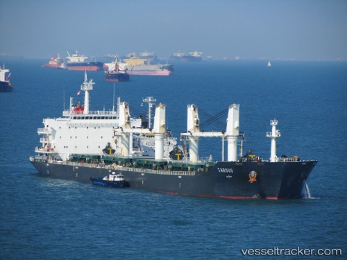
 LAGRANGE
Current Status
Where is the vessel?
LAGRANGE is currently in 57 nm S of Kidd's Beach, based on AIS data received less than 1h ago.
Latest AIS update:
Current position: 34.02385° S, 28.05706° E (57 nm S of Kidd's Beach)
Average speed (last 7 days): Loading…
Average speed (last 30 days): Loading…
Vessel profile: LAGRANGE is a Bulk Carrier with dimensions 189m x 32m.
This page combines live AIS, route history, probable destination signals, nearby traffic, and port activity for practical vessel monitoring.
The current position of vessel LAGRANGE is -34.02385 lat / 28.05706 lng. Updated: 2026-05-15 04:18:20 UTCNearest reference points:
- Near Deal Party
- 23 nm E of Port Saint John's
Currently sailing under the flag of Marshall Islands ![]()
LAGRANGE built in 2008 year
Deadweight:
53208 tDetails:
Live Vessel LAGRANGE Analytics (details, animations, etc.)
Recent AIS points (UTC):
2026-05-14 23:39:44 UTC · -34.15233, 27.13683 · SOG 9.4 kn · COG 55°2026-05-15 00:57:22 UTC · -34.13367, 27.38817 · SOG 10.1 kn · COG 72°
2026-05-15 04:05:02 UTC · -34.02517, 28.01017 · SOG 10 kn · COG 82°
2026-05-15 04:18:20 UTC · -34.02385, 28.05706 · SOG 10.9 kn · COG 80°