 vesseltracker.com
 VOULA
VOULA
Current Status
Where is the vessel?
VOULA is currently in 47 nm N of Belawan, based on AIS data received less than 1h ago.
Latest AIS update:
Current position: 4.54167° N, 98.89667° E (47 nm N of Belawan)
Average speed (last 7 days): Loading…
Average speed (last 30 days): Loading…
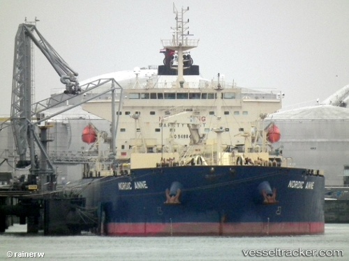
Vessel profile: VOULA is a Oil Products Tanker with dimensions m x m.
This page combines live AIS, route history, probable destination signals, nearby traffic, and port activity for practical vessel monitoring.
The current position of vessel VOULA is 4.54167 lat / 98.89667 lng. Updated: 2026-04-24 16:29:38 UTCNearest reference points:
- 43 nm NE of PANGKALAN SUSU
- 43 nm NE of Perbaungan
- Near Belawan
Currently sailing under the flag of Marshall Islands ![]()
Details:
Live Vessel VOULA Analytics (details, animations, etc.)
Recent AIS points (UTC):
2026-04-24 13:14:36 UTC · 4.10833, 99.43667 · SOG 12 kn · COG -1°2026-04-24 13:14:36 UTC · 4.10833, 99.43667 · SOG 12 kn · COG -1°
2026-04-24 16:20:40 UTC · 4.52167, 98.92167 · SOG 12 kn · COG -1°
2026-04-24 16:29:38 UTC · 4.54167, 98.89667 · SOG 12 kn · COG -1°