 vesseltracker.com
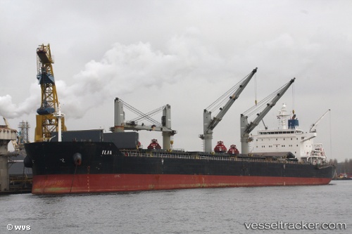
 Ilia
Ilia
Current Status
Where is the vessel?
Ilia is currently in 47 nm NW of Cide, based on AIS data received less than 1h ago.
Latest AIS update:
Current position: 42.55127° N, 32.41367° E (47 nm NW of Cide)
Average speed (last 7 days): Loading…
Average speed (last 30 days): Loading…
Vessel profile: Ilia is a Bulk Carrier with dimensions 190m x 32m.
This page combines live AIS, route history, probable destination signals, nearby traffic, and port activity for practical vessel monitoring.
The current position of vessel Ilia is 42.55127 lat / 32.41367 lng. Updated: 2026-05-13 09:57:38 UTCNearest reference points:
- Near Cide
- 27 nm NW of INEBOLU
- 18 nm NW of INEBOLU
Currently sailing under the flag of Liberia ![]()
Ilia built in 2009 year
Deadweight:
57970 tDetails:
Live Vessel Ilia Analytics (details, animations, etc.)
Recent AIS points (UTC):
2026-05-13 04:14:59 UTC · 42.48507, 33.93028 · SOG 11.5 kn · COG 272°2026-05-13 05:46:28 UTC · 42.52678, 33.53260 · SOG 11.9 kn · COG 268°
2026-05-13 06:37:08 UTC · 42.53128, 33.30568 · SOG 11.9 kn · COG 270°
2026-05-13 09:57:38 UTC · 42.55127, 32.41367 · SOG 11.9 kn · COG 267°