 vesseltracker.com
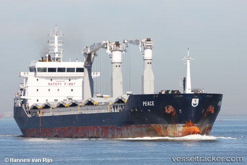
 JIA AN
Current Status
Where is the vessel?
JIA AN is currently in Near Basuo Gang, based on AIS data received less than 1h ago.
Latest AIS update:
Current position: 19.08267° N, 108.48977° E (Near Basuo Gang)
Average speed (last 7 days): Loading…
Average speed (last 30 days): Loading…
Vessel profile: JIA AN is a Cargo with dimensions m x m.
This page combines live AIS, route history, probable destination signals, nearby traffic, and port activity for practical vessel monitoring.
The current position of vessel JIA AN is 19.08267 lat / 108.48977 lng. Updated: 2026-05-15 22:17:30 UTCNearest reference points:
- Near Basuo Gang
- 11 nm NW of Basuo Gang
- 10 nm W of Yangpu Pt
Currently sailing under the flag of China ![]()
Details:
Live Vessel JIA AN Analytics (details, animations, etc.)
Recent AIS points (UTC):
2026-05-15 17:39:33 UTC · 19.08289, 108.49004 · SOG 0 kn · COG 176°2026-05-15 19:03:35 UTC · 19.08285, 108.48994 · SOG 0 kn · COG 180°
2026-05-15 19:29:36 UTC · 19.08279, 108.48994 · SOG 0 kn · COG 182°
2026-05-15 22:17:30 UTC · 19.08267, 108.48977 · SOG 0 kn · COG 182°