 vesseltracker.com
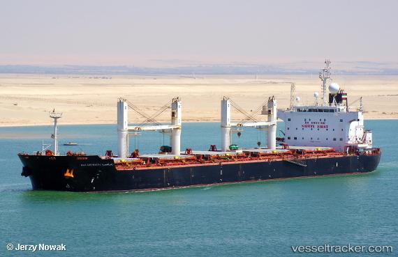
Find the position of the vessel Ras Ghumays i on the map. The latter are known coordinates and path.
marine traffic ship tracker show on live map
The current position of vessel Ras Ghumays i is -16.7103 lat / -37.5823 lng. Updated: 2024-05-02 06:47:57 UTCCurrently sailing under the flag of Liberia
Ras Ghumays i built in 2011 year
Port of registry:
Monrovia (capital city of Liberia)Deadweight:
57423 tPayload_mass:
57423 tonneGross tonnage:
33202Service entry:
2011-01-01T00:00:00ZDetails:
Last coordinates of the vessel:
UTC, -16.2763, -37.3779, course: 206, speed: 13.6UTC, -16.2763, -37.3779, course: 206, speed: 13.6
UTC, -16.4295, -37.4455, course: 209, speed: 13.5
2024-05-02 06:47:57 UTC, -16.7103, -37.5823, course: 206, speed: 13.9