 vesseltracker.com
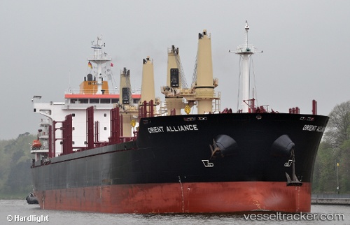
 CAPE GEORGE
Current Status
Where is the vessel?
CAPE GEORGE is currently in 24 nm NW of Bedsted, based on AIS data received about 1h ago.
Latest AIS update:
Current position: 57.02683° N, 7.80671° E (24 nm NW of Bedsted)
Average speed (last 7 days): Loading…
Average speed (last 30 days): Loading…
Vessel profile: CAPE GEORGE is a Bulk Carrier with dimensions m x m.
This page combines live AIS, route history, probable destination signals, nearby traffic, and port activity for practical vessel monitoring.
The current position of vessel CAPE GEORGE is 57.02683 lat / 7.80671 lng. Updated: 2026-05-16 05:26:51 UTCNearest reference points:
- Near Thyborøn
- Near HANSTHOLM
- Near Kleppen
Currently sailing under the flag of Marshall Islands ![]()
Details:
Live Vessel CAPE GEORGE Analytics (details, animations, etc.)
Recent AIS points (UTC):
2026-05-16 01:50:41 UTC · 57.37095, 8.42889 · SOG 8.4 kn · COG 237°2026-05-16 03:22:41 UTC · 57.25412, 8.10963 · SOG 8.3 kn · COG 240°
2026-05-16 04:03:13 UTC · 57.18693, 7.99661 · SOG 8.2 kn · COG 215°
2026-05-16 05:26:51 UTC · 57.02683, 7.80671 · SOG 8.2 kn · COG 220°