 vesseltracker.com
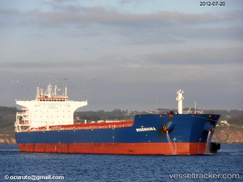
Flag Hope
Current StatusWhere is the vessel?
Flag Hope is currently in 235 nm NE of Mapia Island, based on AIS data received about 1h ago.
Latest AIS update:
Current position: 3.35167° N, 137.36333° E (235 nm NE of Mapia Island)
Average speed (last 7 days): Loading…
Average speed (last 30 days): Loading…
Vessel profile: Flag Hope is a Bulk Carrier with dimensions 38m x 229m.
This page combines live AIS, route history, probable destination signals, nearby traffic, and port activity for practical vessel monitoring.
The current position of vessel Flag Hope is 3.35167 lat / 137.36333 lng. Updated: 2026-05-01 17:30:50 UTCDetails:
Live Vessel Flag Hope Analytics (details, animations, etc.)
Recent AIS points (UTC):
2026-05-01 13:48:55 UTC · 2.93667, 137.90334 · SOG 11 kn · COG -1°2026-05-01 15:33:50 UTC · 3.12500, 137.64000 · SOG 11 kn · COG -1°
2026-05-01 16:24:50 UTC · 3.22167, 137.51666 · SOG 10 kn · COG -1°
2026-05-01 17:30:50 UTC · 3.35167, 137.36333 · SOG 11 kn · COG -1°