 vesseltracker.com
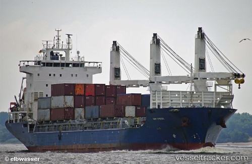
 UML VERONICA
Current Status
Where is the vessel?
UML VERONICA is currently in 73 nm SW of Cordova, based on AIS data received less than 1h ago.
Latest AIS update:
Current position: 59.56333° N, 147.18832° W (73 nm SW of Cordova)
Average speed (last 7 days): Loading…
Average speed (last 30 days): Loading…
Vessel profile: UML VERONICA is a General Cargo Ship with dimensions 22m x 140m.
This page combines live AIS, route history, probable destination signals, nearby traffic, and port activity for practical vessel monitoring.
The current position of vessel UML VERONICA is 59.56333 lat / -147.18832 lng. Updated: 2026-04-01 12:03:59 UTCNearest reference points:
- 84 nm SE of Seward
- Near Whittier
Currently sailing under the flag of Antigua and Barbuda ![]()
UML VERONICA built in 2010 year
Deadweight:
12325 tDetails:
Live Vessel UML VERONICA Analytics (details, animations, etc.)
Recent AIS points (UTC):
2026-04-01 06:13:19 UTC · 60.75795, -147.03033 · SOG 14.4 kn · COG 168°2026-04-01 07:39:53 UTC · 60.41333, -146.91167 · SOG 14 kn · COG -1°
2026-04-01 10:01:08 UTC · 59.95326, -146.67131 · SOG 13.7 kn · COG 199°
2026-04-01 12:03:59 UTC · 59.56333, -147.18832 · SOG 13 kn · COG -1°