 vesseltracker.com
 Anna
Anna
Current Status
Where is the vessel?
Anna is currently in Open sea, approx. 413 nm off the nearest listed port, based on AIS data received less than 1h ago.
Latest AIS update:
Current position: 34.09824° N, 173.20361° W (Open sea, approx. 413 nm off the nearest listed port)
Average speed (last 7 days): Loading…
Average speed (last 30 days): Loading…
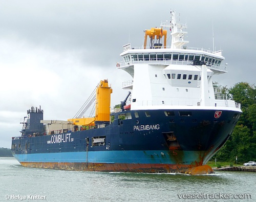
Vessel profile: Anna is a Multi Purpose Carrier with dimensions 133m x 133m.
This page combines live AIS, route history, probable destination signals, nearby traffic, and port activity for practical vessel monitoring.
The current position of vessel Anna is 34.09824 lat / -173.20361 lng. Updated: 2026-05-16 17:40:41 UTCNearest reference points:
- Open sea, approx. 413 nm off the nearest listed port
- Open sea, approx. 411 nm off the nearest listed port
- Open sea, approx. 421 nm off the nearest listed port
Currently sailing under the flag of Antigua Barbuda ![]()
Anna built in 2010 year
Deadweight:
10040 tDetails:
Live Vessel Anna Analytics (details, animations, etc.)
Recent AIS points (UTC):
2026-05-16 14:12:29 UTC · 33.87690, -174.13445 · SOG 14.2 kn · COG 74°2026-05-16 15:56:03 UTC · 33.99240, -173.67227 · SOG 14 kn · COG 71°
2026-05-16 16:19:42 UTC · 34.01975, -173.56950 · SOG 13.8 kn · COG 71°
2026-05-16 17:40:41 UTC · 34.09824, -173.20361 · SOG 13.7 kn · COG 75°