 vesseltracker.com
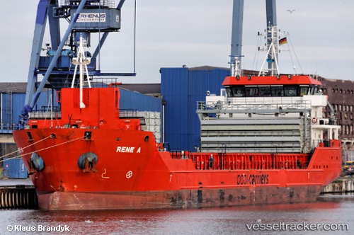
 CELINE
Current Status
Where is the vessel?
CELINE is currently in 13 nm NW of VLORE, based on AIS data received about 1h ago.
Latest AIS update:
Current position: 40.61471° N, 19.22260° E (13 nm NW of VLORE)
Average speed (last 7 days): Loading…
Average speed (last 30 days): Loading…
Vessel profile: CELINE is a General Cargo with dimensions m x m.
This page combines live AIS, route history, probable destination signals, nearby traffic, and port activity for practical vessel monitoring.
The current position of vessel CELINE is 40.61471 lat / 19.22260 lng. Updated: 2026-05-12 19:53:43 UTCNearest reference points:
- 22 nm W of Fier
- Near Durres
- Near Agios Athanasios
Currently sailing under the flag of Marshall Islands ![]()
Details:
Live Vessel CELINE Analytics (details, animations, etc.)
Recent AIS points (UTC):
2026-05-12 17:02:52 UTC · 41.02579, 19.34354 · SOG 8.7 kn · COG 192°2026-05-12 18:11:52 UTC · 40.86095, 19.29939 · SOG 8.4 kn · COG 193°
2026-05-12 19:21:43 UTC · 40.69481, 19.24768 · SOG 9.1 kn · COG 192°
2026-05-12 19:53:43 UTC · 40.61471, 19.22260 · SOG 9.4 kn · COG 192°