 vesseltracker.com
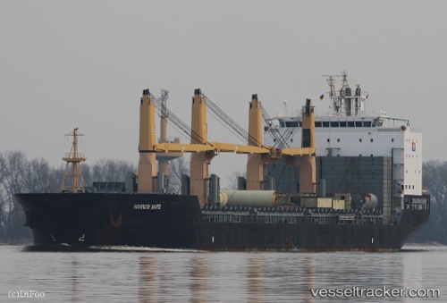
 LILAC ROLLER
Current Status
Where is the vessel?
LILAC ROLLER is currently in 23 nm W of Finisterre, based on AIS data received less than 1h ago.
Latest AIS update:
Current position: 42.81807° N, 9.76670° W (23 nm W of Finisterre)
Average speed (last 7 days): Loading…
Average speed (last 30 days): Loading…
Vessel profile: LILAC ROLLER is a General Cargo with dimensions m x m.
This page combines live AIS, route history, probable destination signals, nearby traffic, and port activity for practical vessel monitoring.
The current position of vessel LILAC ROLLER is 42.81807 lat / -9.76670 lng. Updated: 2026-04-23 16:04:02 UTCNearest reference points:
- 40 nm NW of Sarinena
- Near Portosin
- 13 nm NE of Villanueva de Lorenzana
Currently sailing under the flag of Marshall Islands ![]()
Details:
Live Vessel LILAC ROLLER Analytics (details, animations, etc.)
Recent AIS points (UTC):
2026-04-23 11:19:40 UTC · 42.24377, -8.74472 · SOG 8.8 kn · COG 255°2026-04-23 13:52:02 UTC · 42.49714, -9.31610 · SOG 12.8 kn · COG 307°
2026-04-23 14:17:48 UTC · 42.55077, -9.41639 · SOG 12.7 kn · COG 306°
2026-04-23 16:04:02 UTC · 42.81807, -9.76670 · SOG 14.1 kn · COG 0°