 vesseltracker.com
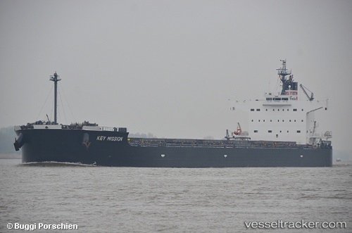
Blue Ridge
Current StatusWhere is the vessel?
Blue Ridge is currently in 36 nm E of Kualalangsa, based on AIS data received less than 1h ago.
Latest AIS update:
Current position: 4.75901° N, 98.56996° E (36 nm E of Kualalangsa)
Average speed (last 7 days): Loading…
Average speed (last 30 days): Loading…
Vessel profile: Blue Ridge is a Bulk Carrier with dimensions 32m x 229m.
This page combines live AIS, route history, probable destination signals, nearby traffic, and port activity for practical vessel monitoring.
The current position of vessel Blue Ridge is 4.75901 lat / 98.56996 lng. Updated: 2026-04-13 10:19:32 UTCNearest reference points:
- 43 nm NE of PANGKALAN SUSU
- 18 nm E of Langsa Venture FPSO
- Near Belawan
Details:
Live Vessel Blue Ridge Analytics (details, animations, etc.)
Recent AIS points (UTC):
2026-04-13 03:36:21 UTC · 5.54333, 97.54833 · SOG 12 kn · COG -1°2026-04-13 06:27:25 UTC · 5.22667, 98.05833 · SOG 12 kn · COG -1°
2026-04-13 08:09:19 UTC · 5.00667, 98.32167 · SOG 11 kn · COG -1°
2026-04-13 10:19:32 UTC · 4.75901, 98.56996 · SOG 11.1 kn · COG 137°