 vesseltracker.com
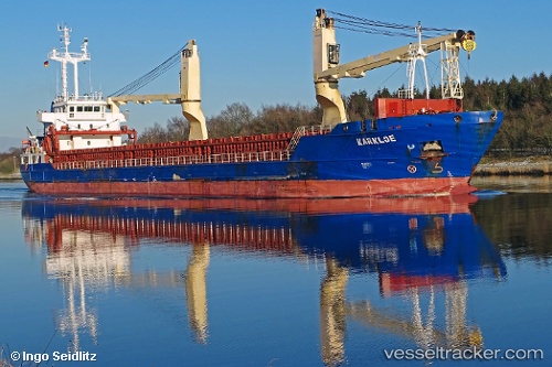
 RUBYLAND
Current Status
Where is the vessel?
RUBYLAND is currently in Near San Juan de la Arena, based on AIS data received less than 1h ago.
Latest AIS update:
Current position: 43.64572° N, 6.09009° W (Near San Juan de la Arena)
Average speed (last 7 days): Loading…
Average speed (last 30 days): Loading…
Vessel profile: RUBYLAND is a General Cargo Ship with dimensions 106m x 15m.
This page combines live AIS, route history, probable destination signals, nearby traffic, and port activity for practical vessel monitoring.
The current position of vessel RUBYLAND is 43.64572 lat / -6.09009 lng. Updated: 2026-05-15 09:25:58 UTCNearest reference points:
- Near San Juan de Nieva
- Near Musel-Arnao
- Near Tremanes
Currently sailing under the flag of Portugal (MAR) ![]()
RUBYLAND built in 2011 year
Deadweight:
5724 tDetails:
Live Vessel RUBYLAND Analytics (details, animations, etc.)
Recent AIS points (UTC):
2026-05-15 06:00:16 UTC · 43.71916, -6.67214 · SOG 7.1 kn · COG 96°2026-05-15 07:32:17 UTC · 43.68808, -6.41782 · SOG 7.5 kn · COG 100°
2026-05-15 08:15:27 UTC · 43.67252, -6.29621 · SOG 7.4 kn · COG 100°
2026-05-15 09:25:58 UTC · 43.64572, -6.09009 · SOG 7.8 kn · COG 99°