 vesseltracker.com
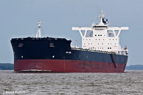
 CAPTAIN J. PAPADAKIS
Current Status
Where is the vessel?
CAPTAIN J. PAPADAKIS is currently in 121 nm S of Tsiombe, based on AIS data received less than 1h ago.
Latest AIS update:
Current position: 27.30208° S, 45.66375° E (121 nm S of Tsiombe)
Average speed (last 7 days): Loading…
Average speed (last 30 days): Loading…
Vessel profile: CAPTAIN J. PAPADAKIS is a Bulk Carrier with dimensions 292m x 45m.
This page combines live AIS, route history, probable destination signals, nearby traffic, and port activity for practical vessel monitoring.
The current position of vessel CAPTAIN J. PAPADAKIS is -27.30208 lat / 45.66375 lng. Updated: 2026-05-13 04:10:19 UTCNearest reference points:
- 106 nm S of Tsiombe
- 174 nm S of Ambovombe
- 70 nm SW of Tsiombe
Currently sailing under the flag of Liberia ![]()
CAPTAIN J. PAPADAKIS built in 2011 year
Deadweight:
179558 tDetails:
Live Vessel CAPTAIN J. PAPADAKIS Analytics (details, animations, etc.)
Recent AIS points (UTC):
2026-05-13 00:21:22 UTC · -27.03039, 46.24265 · SOG 10.1 kn · COG 242°2026-05-13 01:23:20 UTC · -27.11350, 46.07453 · SOG 9.6 kn · COG 245°
2026-05-13 02:22:51 UTC · -27.18535, 45.92805 · SOG 8.6 kn · COG 244°
2026-05-13 04:10:19 UTC · -27.30208, 45.66375 · SOG 9 kn · COG 239°