 vesseltracker.com
 DORYSIA
Current Status
Where is the vessel?
DORYSIA is currently in 84 nm SW of Bubaque, based on AIS data received less than 1h ago.
Latest AIS update:
Current position: 10.56021° N, 17.05560° W (84 nm SW of Bubaque)
Average speed (last 7 days): Loading…
Average speed (last 30 days): Loading…
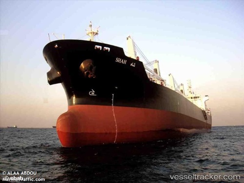
Vessel profile: DORYSIA is a Bulk Carrier with dimensions 186m x 28m.
This page combines live AIS, route history, probable destination signals, nearby traffic, and port activity for practical vessel monitoring.
The current position of vessel DORYSIA is 10.56021 lat / -17.05560 lng. Updated: 2026-05-02 07:34:59 UTCNearest reference points:
- 144 nm SW of Bubaque
- 97 nm SW of Port de Boké
- 48 nm W of Cap Skiring
Currently sailing under the flag of Marshall Islands ![]()
DORYSIA built in 2010 year
Deadweight:
36863 tDetails:
Live Vessel DORYSIA Analytics (details, animations, etc.)
Recent AIS points (UTC):
2026-05-02 04:05:41 UTC · 11.13900, -17.47940 · SOG 12.1 kn · COG 172°2026-05-02 04:54:30 UTC · 10.97222, -17.44901 · SOG 12.7 kn · COG 170°
2026-05-02 05:26:40 UTC · 10.88497, -17.37403 · SOG 13 kn · COG 138°
2026-05-02 07:34:59 UTC · 10.56021, -17.05560 · SOG 12.1 kn · COG 136°