 vesseltracker.com
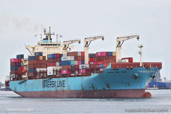
 Maersk Cabo Verde
Current Status
Where is the vessel?
Maersk Cabo Verde is currently in 303 nm NW of River Sao Nicolau, based on AIS data received about 1h ago.
Latest AIS update:
Current position: 12.04489° S, 7.67696° E (303 nm NW of River Sao Nicolau)
Average speed (last 7 days): Loading…
Average speed (last 30 days): Loading…
Vessel profile: Maersk Cabo Verde is a Container Ship with dimensions 249m x 35m.
This page combines live AIS, route history, probable destination signals, nearby traffic, and port activity for practical vessel monitoring.
The current position of vessel Maersk Cabo Verde is -12.04489 lat / 7.67696 lng. Updated: 2026-05-15 19:49:32 UTCNearest reference points:
- Open sea, approx. 400 nm off the nearest listed port
- Open sea, approx. 402 nm off the nearest listed port
- Open sea, approx. 401 nm off the nearest listed port
Currently sailing under the flag of Hong Kong ![]()
Maersk Cabo Verde built in 2012 year
Deadweight:
61643 tDetails:
Live Vessel Maersk Cabo Verde Analytics (details, animations, etc.)
Recent AIS points (UTC):
2026-05-15 16:39:50 UTC · -12.50601, 7.88523 · SOG 9.7 kn · COG 336°2026-05-15 17:45:32 UTC · -12.34527, 7.81516 · SOG 9.6 kn · COG 337°
2026-05-15 19:06:51 UTC · -12.14959, 7.72214 · SOG 9.6 kn · COG 336°
2026-05-15 19:49:32 UTC · -12.04489, 7.67696 · SOG 9.7 kn · COG 337°