 vesseltracker.com
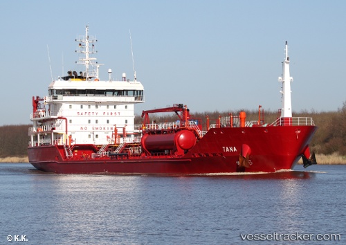
 Key East
Current Status
Where is the vessel?
Key East is currently in 25 nm N of Ile D’Ouessant, based on AIS data received about 2h ago.
Latest AIS update:
Current position: 49.06648° N, 5.30282° W (25 nm N of Ile D’Ouessant)
Average speed (last 7 days): Loading…
Average speed (last 30 days): Loading…
Vessel profile: Key East is a Chemical Oil Products Tanker with dimensions 109m x 17m.
This page combines live AIS, route history, probable destination signals, nearby traffic, and port activity for practical vessel monitoring.
The current position of vessel Key East is 49.06648 lat / -5.30282 lng. Updated: 2026-05-13 06:04:39 UTCNearest reference points:
- 18 nm NE of Ile D’Ouessant
- 34 nm W of Verzy
- 28 nm N of Landunvez
Currently sailing under the flag of Malta ![]()
Key East built in 2011 year
Deadweight:
6480 tDetails:
Live Vessel Key East Analytics (details, animations, etc.)
Recent AIS points (UTC):
2026-05-13 02:30:07 UTC · 49.32619, -4.60752 · SOG 8.2 kn · COG 245°2026-05-13 03:33:01 UTC · 49.24986, -4.79530 · SOG 8.1 kn · COG 247°
2026-05-13 04:03:59 UTC · 49.21224, -4.89090 · SOG 8.6 kn · COG 249°
2026-05-13 06:04:39 UTC · 49.06648, -5.30282 · SOG 7.6 kn · COG 253°