 vesseltracker.com
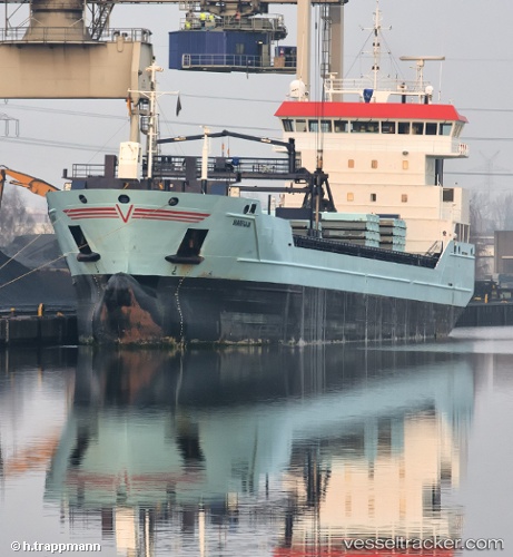
 Marfaam
Current Status
Where is the vessel?
Marfaam is currently in 37 nm W of Ventspils, based on AIS data received about 1h ago.
Latest AIS update:
Current position: 57.37608° N, 20.42503° E (37 nm W of Ventspils)
Average speed (last 7 days): Loading…
Average speed (last 30 days): Loading…
Vessel profile: Marfaam is a Multi Purpose Carrier with dimensions 118m x 16m.
This page combines live AIS, route history, probable destination signals, nearby traffic, and port activity for practical vessel monitoring.
The current position of vessel Marfaam is 57.37608 lat / 20.42503 lng. Updated: 2026-05-16 02:05:23 UTCNearest reference points:
- Near Ventspils
- 11 nm N of Ventspils
- Near Cimdenieki
Currently sailing under the flag of Netherlands ![]()
Marfaam built in 2011 year
Deadweight:
8429 tDetails:
Live Vessel Marfaam Analytics (details, animations, etc.)
Recent AIS points (UTC):
2026-05-15 22:08:51 UTC · 57.67152, 21.69963 · SOG 11.4 kn · COG 267°2026-05-16 00:03:40 UTC · 57.54470, 21.07186 · SOG 11.5 kn · COG 246°
2026-05-16 01:34:59 UTC · 57.41805, 20.58553 · SOG 11.6 kn · COG 244°
2026-05-16 02:05:23 UTC · 57.37608, 20.42503 · SOG 11.4 kn · COG 246°