 vesseltracker.com
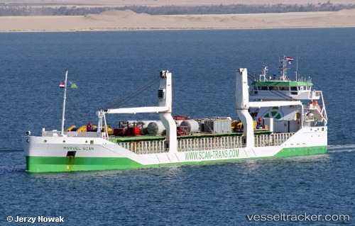
 TANJA
TANJA
Current Status
Where is the vessel?
TANJA is currently in 107 nm E of Ryuo, based on AIS data received about 1h ago.
Latest AIS update:
Current position: 36.12060° N, 18.73840° E (107 nm E of Ryuo)
Average speed (last 7 days): Loading…
Average speed (last 30 days): Loading…
Vessel profile: TANJA is a General Cargo with dimensions m x m.
This page combines live AIS, route history, probable destination signals, nearby traffic, and port activity for practical vessel monitoring.
The current position of vessel TANJA is 36.12060 lat / 18.73840 lng. Updated: 2026-05-16 10:00:23 UTCNearest reference points:
- 103 nm NE of Ryuo
- 73 nm N of Pinelands
- 71 nm N of Pinelands
Currently sailing under the flag of Antigua and Barbuda ![]()
Details:
Live Vessel TANJA Analytics (details, animations, etc.)
Recent AIS points (UTC):
2026-05-16 07:26:44 UTC · 36.15058, 19.30182 · SOG 11.1 kn · COG 265°2026-05-16 07:42:53 UTC · 36.14532, 19.24126 · SOG 10.9 kn · COG 265°
2026-05-16 09:24:53 UTC · 36.12537, 18.86651 · SOG 10.4 kn · COG 269°
2026-05-16 10:00:23 UTC · 36.12060, 18.73840 · SOG 10.7 kn · COG 268°