 vesseltracker.com
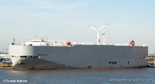
 Durban Highway
Current Status
Where is the vessel?
Durban Highway is currently in 47 nm S of Iwata, based on AIS data received about 1h ago.
Latest AIS update:
Current position: 33.91324° N, 137.78404° E (47 nm S of Iwata)
Average speed (last 7 days): Loading…
Average speed (last 30 days): Loading…
Vessel profile: Durban Highway is a Vehicles Carrier with dimensions 199m x 32m.
This page combines live AIS, route history, probable destination signals, nearby traffic, and port activity for practical vessel monitoring.
The current position of vessel Durban Highway is 33.91324 lat / 137.78404 lng. Updated: 2026-05-12 21:19:30 UTCNearest reference points:
- 17 nm SW of OMAEZAKI
- 17 nm S of TOYOHASHI
- 12 nm E of TOBA
Currently sailing under the flag of Panama ![]()
Durban Highway built in 2011 year
Deadweight:
18906 tDetails:
Live Vessel Durban Highway Analytics (details, animations, etc.)
Recent AIS points (UTC):
2026-05-12 17:52:12 UTC · 34.38943, 138.69917 · SOG 15.5 kn · COG 239°2026-05-12 19:25:42 UTC · 34.17874, 138.28966 · SOG 15.1 kn · COG 240°
2026-05-12 20:12:54 UTC · 34.07047, 138.08838 · SOG 15.4 kn · COG 237°
2026-05-12 21:19:30 UTC · 33.91324, 137.78404 · SOG 16.7 kn · COG 237°