 vesseltracker.com
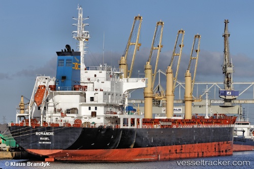
 ISKANDAR
Current Status
Where is the vessel?
ISKANDAR is currently in Near Batroûn, based on AIS data received about 1h ago.
Latest AIS update:
Current position: 34.24847° N, 35.62203° E (Near Batroûn)
Average speed (last 7 days): Loading…
Average speed (last 30 days): Loading…
Vessel profile: ISKANDAR is a Bulk Carrier with dimensions m x m.
This page combines live AIS, route history, probable destination signals, nearby traffic, and port activity for practical vessel monitoring.
The current position of vessel ISKANDAR is 34.24847 lat / 35.62203 lng. Updated: 2026-04-24 00:11:01 UTCNearest reference points:
- Near Tripoli
- Near Zouk
- Near DBAIYEH
Currently sailing under the flag of Barbados ![]()
Details:
Live Vessel ISKANDAR Analytics (details, animations, etc.)
Recent AIS points (UTC):
2026-04-23 19:47:01 UTC · 34.24925, 35.62178 · SOG 0 kn · COG 99°2026-04-23 21:20:03 UTC · 34.25010, 35.62221 · SOG 0 kn · COG 139°
2026-04-23 22:34:59 UTC · 34.24920, 35.62176 · SOG 0.1 kn · COG 97°
2026-04-24 00:11:01 UTC · 34.24847, 35.62203 · SOG 0 kn · COG 63°