 vesseltracker.com
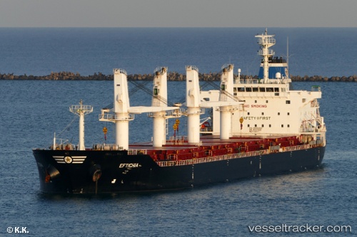
 HOPE
HOPE
Current Status
Where is the vessel?
HOPE is currently in Near Colon, based on AIS data received less than 1h ago.
Latest AIS update:
Current position: 9.42954° N, 79.96646° W (Near Colon)
Average speed (last 7 days): Loading…
Average speed (last 30 days): Loading…
Vessel profile: HOPE is a Bulk Carrier with dimensions 38m x 8m.
This page combines live AIS, route history, probable destination signals, nearby traffic, and port activity for practical vessel monitoring.
The current position of vessel HOPE is 9.42954 lat / -79.96646 lng. Updated: 2026-05-02 21:30:52 UTCNearest reference points:
- Near Colon
- Near COLON 2000
- Near Colón Free Zone
Currently sailing under the flag of Liberia ![]()
HOPE built in 2011 year
Deadweight:
34146 tDetails:
Live Vessel HOPE Analytics (details, animations, etc.)
Recent AIS points (UTC):
2026-05-02 17:25:53 UTC · 9.42992, -79.96671 · SOG 0.1 kn · COG 226°2026-05-02 19:25:49 UTC · 9.42971, -79.96653 · SOG 0.2 kn · COG 236°
2026-05-02 19:26:13 UTC · 9.42971, -79.96653 · SOG 0.2 kn · COG 236°
2026-05-02 21:30:52 UTC · 9.42954, -79.96646 · SOG 0.3 kn · COG 234°