 vesseltracker.com
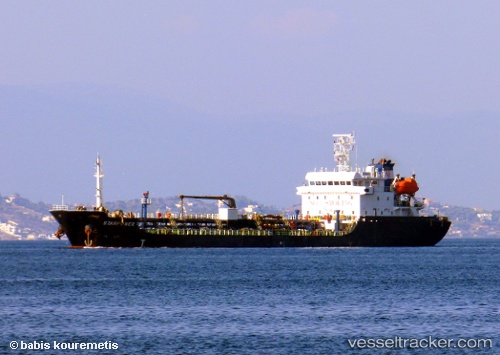
 MY WORRY
Current Status
Where is the vessel?
MY WORRY is currently in Near Arnavutköy/Istambul, based on AIS data received about 1h ago.
Latest AIS update:
Current position: 41.07590° N, 29.05318° E (Near Arnavutköy/Istambul)
Average speed (last 7 days): Loading…
Average speed (last 30 days): Loading…
Vessel profile: MY WORRY is a Asphalt/Bitumen Tanker with dimensions m x m.
This page combines live AIS, route history, probable destination signals, nearby traffic, and port activity for practical vessel monitoring.
The current position of vessel MY WORRY is 41.07590 lat / 29.05318 lng. Updated: 2026-05-16 04:10:33 UTCNearest reference points:
- Near Arnavutköy/Istambul
- Near Beylerbeyi
- Near Istinye/Istambul
Currently sailing under the flag of Marshall Islands ![]()
Details:
Live Vessel MY WORRY Analytics (details, animations, etc.)
Recent AIS points (UTC):
2026-05-16 01:32:27 UTC · 41.27948, 28.97590 · SOG 0.1 kn · COG 173°2026-05-16 02:00:55 UTC · 41.29912, 29.01211 · SOG 7 kn · COG 80°
2026-05-16 03:36:56 UTC · 41.16420, 29.06550 · SOG 10.7 kn · COG 215°
2026-05-16 04:10:33 UTC · 41.07590, 29.05318 · SOG 11.3 kn · COG 209°