 vesseltracker.com
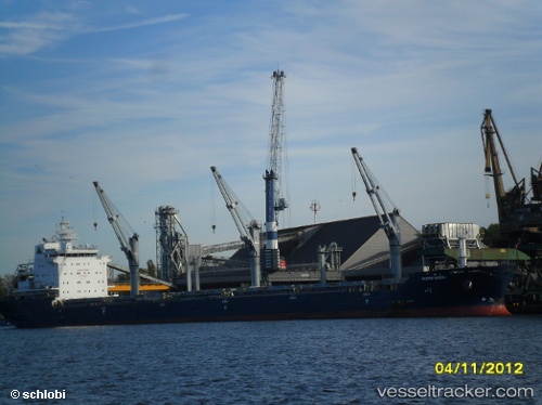
 BARBRO G
Current Status
Where is the vessel?
BARBRO G is currently in 90 nm SW of Los Ramos, based on AIS data received less than 1h ago.
Latest AIS update:
Current position: 37.19667° N, 11.95333° W (90 nm SW of Los Ramos)
Average speed (last 7 days): Loading…
Average speed (last 30 days): Loading…
Vessel profile: BARBRO G is a Bulk Carrier with dimensions 190m x 24m.
This page combines live AIS, route history, probable destination signals, nearby traffic, and port activity for practical vessel monitoring.
The current position of vessel BARBRO G is 37.19667 lat / -11.95333 lng. Updated: 2026-03-30 13:35:09 UTCNearest reference points:
- 97 nm W of Los Ramos
- 95 nm W of Los Ramos
- 94 nm W of Los Ramos
Currently sailing under the flag of Portugal (MAR) ![]()
BARBRO G built in 2010 year
Deadweight:
29975 tDetails:
Live Vessel BARBRO G Analytics (details, animations, etc.)
Recent AIS points (UTC):
2026-03-30 08:16:09 UTC · 36.89981, -10.89809 · SOG 10.2 kn · COG 296°2026-03-30 09:35:08 UTC · 36.98333, -11.15333 · SOG 9 kn · COG -1°
2026-03-30 12:08:08 UTC · 37.11833, -11.66167 · SOG 10 kn · COG -1°
2026-03-30 13:35:09 UTC · 37.19667, -11.95333 · SOG 10 kn · COG -1°