 vesseltracker.com
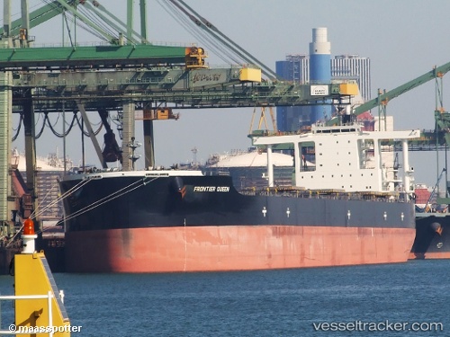
 CAPE SWAN
Current Status
Where is the vessel?
CAPE SWAN is currently in Near JINGTANG, based on AIS data received about 4h ago.
Latest AIS update:
Current position: 39.23881° N, 119.07644° E (Near JINGTANG)
Average speed (last 7 days): Loading…
Average speed (last 30 days): Loading…
Vessel profile: CAPE SWAN is a Bulk Carrier with dimensions 45m x 292m.
This page combines live AIS, route history, probable destination signals, nearby traffic, and port activity for practical vessel monitoring.
The current position of vessel CAPE SWAN is 39.23881 lat / 119.07644 lng. Updated: 2026-05-13 05:34:35 UTCNearest reference points:
- Near JINGTANG
- 19 nm SE of JINGTANG
- Near CAOFEIDIAN
Currently sailing under the flag of Liberia ![]()
CAPE SWAN built in 2012 year
Deadweight:
182663 tDetails:
Live Vessel CAPE SWAN Analytics (details, animations, etc.)
Recent AIS points (UTC):
2026-05-13 02:03:41 UTC · 39.11509, 119.11672 · SOG 10.6 kn · COG 316°2026-05-13 03:37:31 UTC · 39.23641, 119.07735 · SOG 1.4 kn · COG 34°
2026-05-13 04:40:39 UTC · 39.23879, 119.07646 · SOG 0 kn · COG 55°
2026-05-13 05:34:35 UTC · 39.23881, 119.07644 · SOG 0 kn · COG 55°