 vesseltracker.com
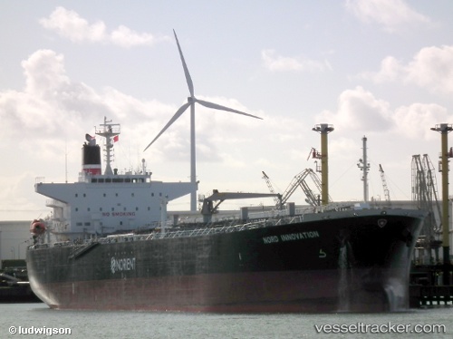
 T MATTERHORN
Current Status
Where is the vessel?
T MATTERHORN is currently in 113 nm W of Saint Louis, based on AIS data received about 1h ago.
Latest AIS update:
Current position: 16.39433° N, 18.42957° W (113 nm W of Saint Louis)
Average speed (last 7 days): Loading…
Average speed (last 30 days): Loading…
Vessel profile: T MATTERHORN is a Oil Products Tanker with dimensions m x m.
This page combines live AIS, route history, probable destination signals, nearby traffic, and port activity for practical vessel monitoring.
The current position of vessel T MATTERHORN is 16.39433 lat / -18.42957 lng. Updated: 2026-05-14 16:15:27 UTCNearest reference points:
- 100 nm NW of Saint Louis
- Near Dakar
- 119 nm W of Nouakchott
Currently sailing under the flag of Marshall Islands ![]()
Details:
Live Vessel T MATTERHORN Analytics (details, animations, etc.)
Recent AIS points (UTC):
2026-05-14 13:38:28 UTC · 16.00603, -18.44995 · SOG 9 kn · COG 3°2026-05-14 14:03:17 UTC · 16.07297, -18.44685 · SOG 9.2 kn · COG 3°
2026-05-14 15:37:58 UTC · 16.30698, -18.43898 · SOG 7.2 kn · COG 5°
2026-05-14 16:15:27 UTC · 16.39433, -18.42957 · SOG 9 kn · COG 9°