 vesseltracker.com
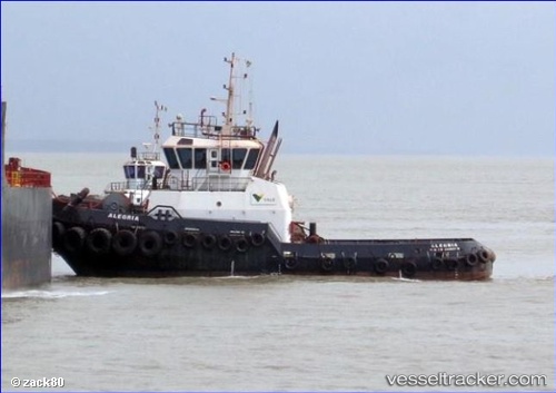
Alegria
Current StatusWhere is the vessel?
Alegria is currently in Near ILHA GUAIBA, based on AIS data received about 1h ago.
Latest AIS update:
Current position: 22.99946° S, 44.03083° W (Near ILHA GUAIBA)
Average speed (last 7 days): Loading…
Average speed (last 30 days): Loading…
Vessel profile: Alegria is a [tug.offshore_tug_supply] with dimensions 10m x 32m.
This page combines live AIS, route history, probable destination signals, nearby traffic, and port activity for practical vessel monitoring.
The current position of vessel Alegria is -22.99946 lat / -44.03083 lng. Updated: 2026-05-14 07:43:26 UTCNearest reference points:
- Near ILHA GUAIBA
- Near SANTA RITA
- Near CUNHAMBEBE
Details:
Live Vessel Alegria Analytics (details, animations, etc.)
Recent AIS points (UTC):
2026-05-14 04:07:42 UTC · -22.99941, -44.03082 · SOG 0 kn · COG -1°2026-05-14 06:10:14 UTC · -22.99942, -44.03087 · SOG 0 kn · COG -1°
2026-05-14 07:06:57 UTC · -22.99947, -44.03081 · SOG 0 kn · COG -1°
2026-05-14 07:43:26 UTC · -22.99946, -44.03083 · SOG 0 kn · COG -1°