 vesseltracker.com
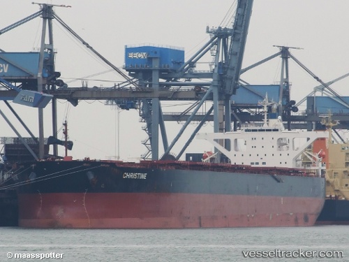
Star Martha
Current StatusWhere is the vessel?
Star Martha is currently in 67 nm NE of Parnaíba, based on AIS data received less than 1h ago.
Latest AIS update:
Current position: 1.95270° S, 41.21451° W (67 nm NE of Parnaíba)
Average speed (last 7 days): Loading…
Average speed (last 30 days): Loading…
Vessel profile: Star Martha is a Bulk Carrier with dimensions 45m x 289m.
This page combines live AIS, route history, probable destination signals, nearby traffic, and port activity for practical vessel monitoring.
The current position of vessel Star Martha is -1.95270 lat / -41.21451 lng. Updated: 2026-05-12 22:22:23 UTCNearest reference points:
- 81 nm N of Acarau
- 53 nm N of Beija-Flor
- 141 nm N of Itarema
Details:
Live Vessel Star Martha Analytics (details, animations, etc.)
Recent AIS points (UTC):
2026-05-12 19:22:42 UTC · -1.89943, -41.73250 · SOG 10.3 kn · COG 96°2026-05-12 19:29:03 UTC · -1.90142, -41.71441 · SOG 10.3 kn · COG 95°
2026-05-12 22:10:21 UTC · -1.94891, -41.24933 · SOG 10.4 kn · COG 97°
2026-05-12 22:22:23 UTC · -1.95270, -41.21451 · SOG 10.4 kn · COG 98°