 vesseltracker.com
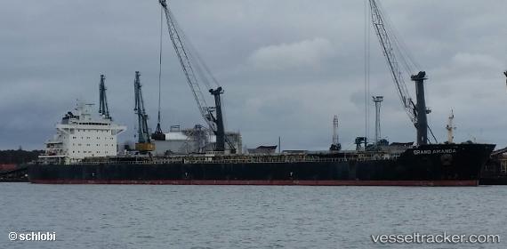
 SWEET IRINA
Current Status
Where is the vessel?
SWEET IRINA is currently in 36 nm E of General Santos City, based on AIS data received less than 1h ago.
Latest AIS update:
Current position: 6.26167° N, 125.74833° E (36 nm E of General Santos City)
Average speed (last 7 days): Loading…
Average speed (last 30 days): Loading…
Vessel profile: SWEET IRINA is a Bulk Carrier with dimensions 32m x 229m.
This page combines live AIS, route history, probable destination signals, nearby traffic, and port activity for practical vessel monitoring.
The current position of vessel SWEET IRINA is 6.26167 lat / 125.74833 lng. Updated: 2026-05-17 15:51:16 UTCNearest reference points:
- Near DICT / SVT
- 48 nm N of Melonguanne
Currently sailing under the flag of Liberia ![]()
SWEET IRINA built in 2011 year
Deadweight:
79467 tDetails:
Live Vessel SWEET IRINA Analytics (details, animations, etc.)
Recent AIS points (UTC):
2026-05-17 11:30:16 UTC · 5.66667, 125.55833 · SOG 11 kn · COG -1°2026-05-17 13:39:16 UTC · 5.93667, 125.76167 · SOG 8 kn · COG -1°
2026-05-17 13:39:16 UTC · 5.93667, 125.76167 · SOG 8 kn · COG -1°
2026-05-17 15:51:16 UTC · 6.26167, 125.74833 · SOG 8 kn · COG -1°