 vesseltracker.com
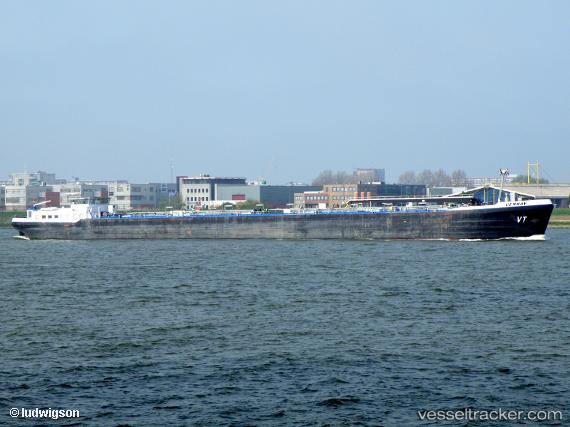
 VENRAY
Current Status
Where is the vessel?
VENRAY is currently in Near Panama, based on AIS data received about 16h ago.
Latest AIS update:
Current position: 8.86916° N, 79.51432° W (Near Panama)
Average speed (last 7 days): Loading…
Average speed (last 30 days): Loading…
Vessel profile: VENRAY is a Inland Tanker with dimensions m x m.
This page combines live AIS, route history, probable destination signals, nearby traffic, and port activity for practical vessel monitoring.
The current position of vessel VENRAY is 8.86916 lat / -79.51432 lng. Updated: 2026-05-17 17:20:50 UTCNearest reference points:
- Near Panama
- Near El Chorrillo
- Near Melones
Currently sailing under the flag of Panama ![]()
Details:
Live Vessel VENRAY Analytics (details, animations, etc.)
Recent AIS points (UTC):
2026-05-17 13:37:00 UTC · 8.86602, -79.51346 · SOG 0.1 kn · COG 6°2026-05-17 15:34:25 UTC · 8.86732, -79.51517 · SOG 0.3 kn · COG 89°
2026-05-17 16:10:24 UTC · 8.86865, -79.51492 · SOG 0 kn · COG 135°
2026-05-17 17:20:50 UTC · 8.86916, -79.51432 · SOG 0.1 kn · COG 164°