 vesseltracker.com
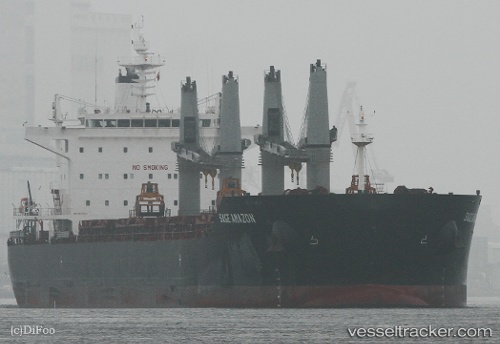
 ASL TIA
Current Status
Where is the vessel?
ASL TIA is currently in 29 nm SE of ROQUETAS DE MAR, based on AIS data received about 1h ago.
Latest AIS update:
Current position: 36.34525° N, 2.30354° W (29 nm SE of ROQUETAS DE MAR)
Average speed (last 7 days): Loading…
Average speed (last 30 days): Loading…
Vessel profile: ASL TIA is a Bulk Carrier with dimensions 199m x 33m.
This page combines live AIS, route history, probable destination signals, nearby traffic, and port activity for practical vessel monitoring.
The current position of vessel ASL TIA is 36.34525 lat / -2.30354 lng. Updated: 2026-04-05 18:03:29 UTCNearest reference points:
- 26 nm S of El Alquian
- 27 nm SE of El Alquian
- 37 nm S of Las Noras de Daza
Currently sailing under the flag of Liberia ![]()
ASL TIA built in 2012 year
Deadweight:
63227 tDetails:
Live Vessel ASL TIA Analytics (details, animations, etc.)
Recent AIS points (UTC):
2026-04-05 11:36:49 UTC · 36.16269, -3.85358 · SOG 12.1 kn · COG 80°2026-04-05 13:23:48 UTC · 36.22404, -3.41676 · SOG 11.9 kn · COG 81°
2026-04-05 15:27:59 UTC · 36.26907, -2.92783 · SOG 12.1 kn · COG 82°
2026-04-05 18:03:29 UTC · 36.34525, -2.30354 · SOG 11.5 kn · COG 83°